

We translate hydrological behavior into technical parameters that support projects, drainage, and land use.
We carry out hydrological and hydraulic studies that support the safe implementation of developments, especially in areas subject to flooding and ponding. The analyses guide implementation elevations, drainage sizing, and water risk management.
Services in this area.
Study to determine the implementation elevation
Definition of the minimum safe elevation for implementing the development.
Study to determine the flood elevation
Flood modeling to identify reference flood elevations.
Study to determine the ponding elevation
Assessment of areas subject to stormwater accumulation.
Hydrological risk assessment
Analysis of the probability and magnitude of extreme water events.
Hydrological diagnostics
Characterization of the water regime and watershed behavior.
Watershed management plan
Guidelines for the use and conservation of the watershed's water resources.
Studies for drainage design
Sizing of drainage and detention systems.
Advisory, plans, and programs focused on hydrological risk
Ongoing technical support in managing the development's water risk.
A four-step approach
Every project goes through the same four steps, adapted to the complexity and regulatory context of each development.
Understanding
We map the demand, the regulatory context, and the project's risks.
Diagnosis
We gather field data and the necessary technical basis.
Solution
We develop the technical approach suited to each case.
Oversight
We manage the process before the agencies and in the field through completion.

Related technical analyses.

The street that also drains: how urban design can reduce flooding
Rain gardens, bioretention, permeable pavements, and multifunctional spaces only work when hydrology, mobility, landscape, and maintenance are designed together, not as isolated pieces.
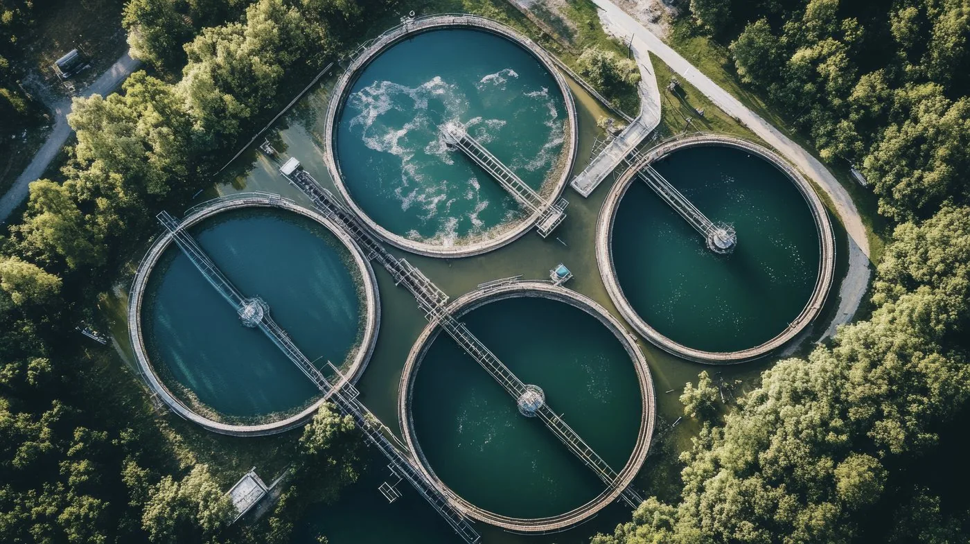
From effluent to receiving water body: how self-purification studies guide decisions on treatment and discharge
Meeting the effluent standard at the discharge point is not enough when the class, uses, critical flow, and cumulative effects of the receiving water body are not assessed.
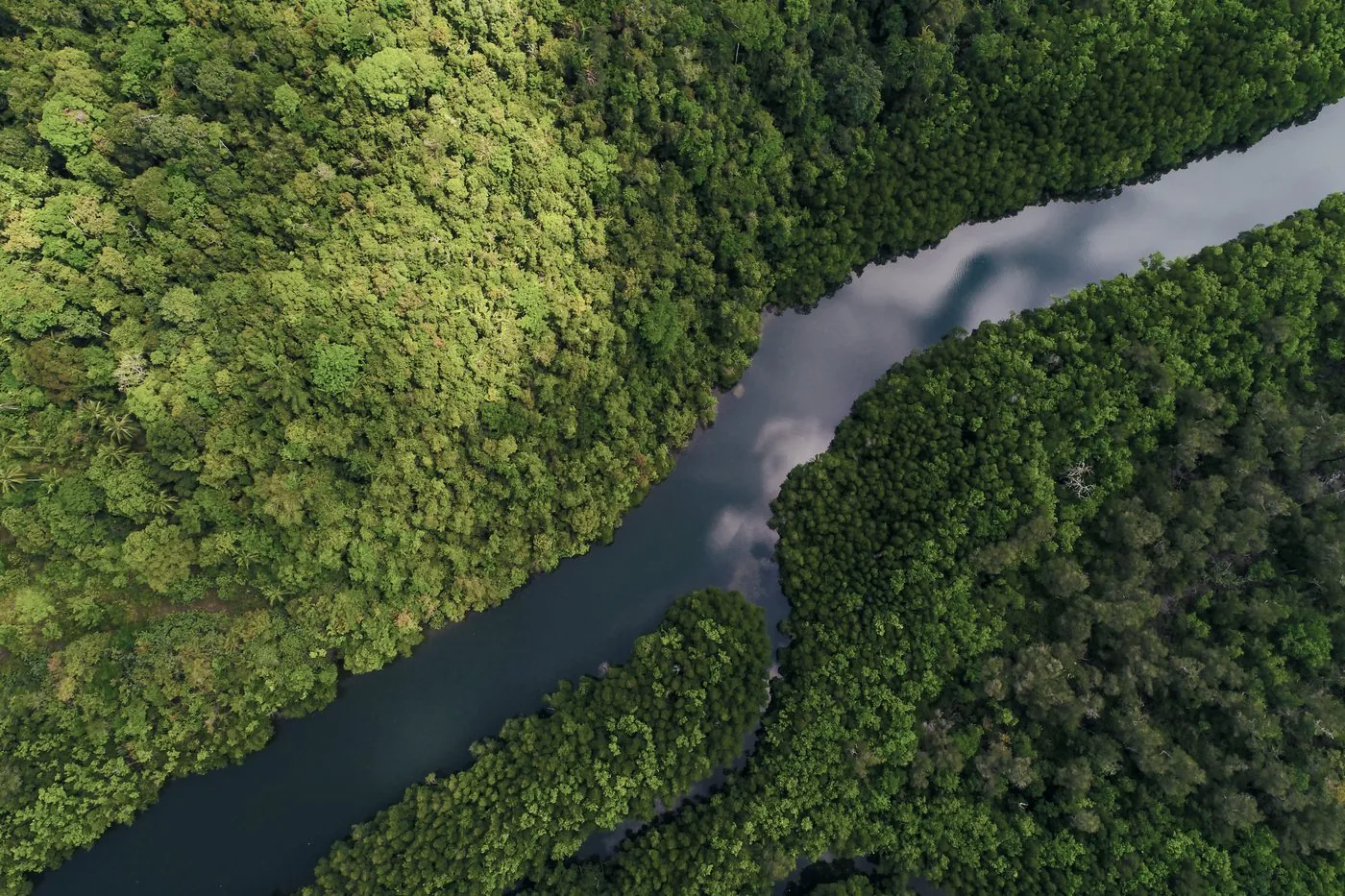
The 2024 floods and the responsibility to revise cities’ hydrological references
The 2024 floods in Rio Grande do Sul tested data, models, and infrastructure all at once. Understand when and how to technically revise a hydrological reference, without turning an isolated event into a new universal rule.